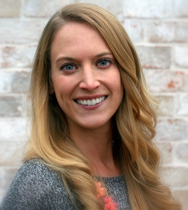
MS-GIST 2014 alumna Jamie Velkoverh will be giving a lunch time talk this Thursday, February 4th about usage and deployment of Esri Storymaps as they apply to her work with Wisconsin Internet Mapping (WiM), a USGS work group. Come down to ENRB to hear about the cool applications that what she is working on!
--------------------------------------------------------------------------------
USGS Brown Bag
2/4/16, 11:30am
Santa Catalina Room, ENRB
Story Maps: A new tool for data visualization and information dissemination
Interactive web applications are a robust tool for visualizing spatial data, and when incorporated with narrative and multi-media using ESRI Story Maps, they become a powerful mechanism to engage an audience in the story of the science. Story Maps can be used to supplement fact sheets, journal articles and technical reports. The Wisconsin Internet Mapping (WiM) group of the Wisconsin Water Science Center designs, develops, and hosts interactive mapping applications and geospatial tools in support of the USGS mission. Although predominantly federal, WiM’s customers and cooperators also include state and international government organizations. ESRI makes available through a Department of the Interior Enterprise License Agreement the use of their ArcGIS Online products including Web App Builder and Story Maps. This talk includes an overview of current WiM interactive mapping projects, focuses on how to incorporate USGS science into Story Maps, including examples of USGS Story Map products, potential uses, design philosophies, time and cost considerations, approval processes, and hosting and maintenance.
Jamie Velkoverh recently joined the US Geological Survey’s Wisconsin Internet Mapping (WiM) group, based out of the Wisconsin Water Science Center in Middleton, WI. She earned a bachelor’s degree in Chemistry from St. Norbert College, a Master’s degree in Environmental Engineering from the University of Minnesota, and a Master’s degree in GIS Technology from the University of Arizona. She is dedicated to developing and supporting ESRI Story Maps and ArcGIS online products for use by the USGS. She will be presenting a talk on Story Maps at the plenary session of the ESRI Federal GIS Conference in late February.


